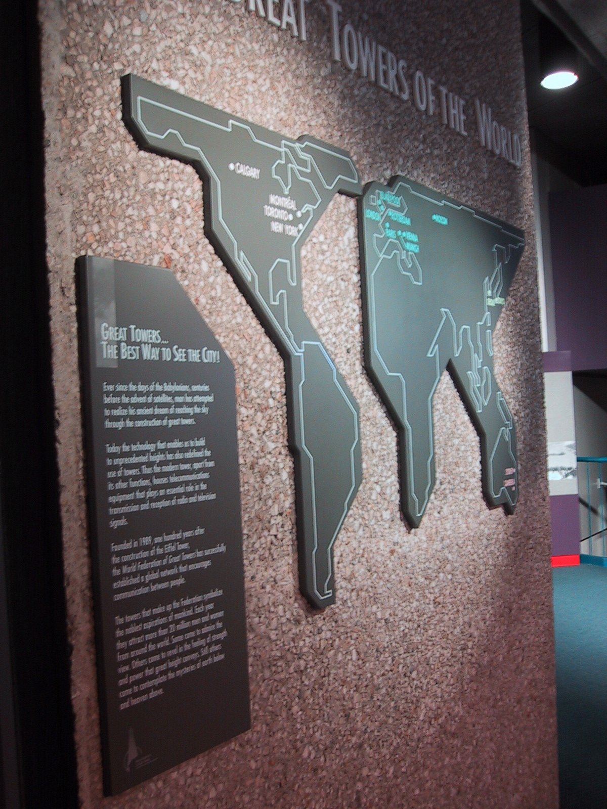
Мапа «Великие башни мира» в Монреале, май 2004
Внутри выставочного пространства в Монреале, май 2004: стена из грубого бетона с трёхмерной картой Северной Америки и Европы, на которой отмечены Калгари, Монреаль, Торонто, Нью-Йорк. Рядом — табличка «Great Towers… The Best Way to See the City!» с текстом о роли башен в коммуникациях и туризме.
В Монреале в мае 2004 года внутри экспозиции — стена из зернистого бетона с вырезанной картой мира, где континенты обведены белыми линиями; на Северной Америке видны надписи «CALGARY», «MONTREAL», «TORONTO», «NEW YORK», а на Европе — «PARIS», «LONDON», «BERLIN». Рядом — вертикальная табличка с заголовком «GREAT TOWERS... THE BEST WAY TO SEE THE CITY!» и текстом: «Ever since the days of the Babylonians, centuries before the advent of satellites, man has attempted to realize his ancient dream of reaching the sky through the construction of great towers. Today the technology that enables us to build to unprecedented heights has also redefined the use of towers. Thus the modern tower, apart from its other functions, houses telecommunications equipment that plays an essential role in the transmission and reception of radio and television signals. Founded in 1989, one hundred years after the construction of the Eiffel Tower, the World Federation of Great Towers has successfully established a global network that encourages communication between people. The towers that make up the Federation symbolize the noblest aspirations of mankind. Each year they attract more than 20 million men and women from around the world. Some come to admire the view. Others come to revel in the feeling of strength and power that great height conveys. Still others come to contemplate the mysteries of earth below and heaven above.»
- Камера
- Canon
- Модель
- Canon IXY DIGITAL
- Фокусное
- 5.40625 mm
- Выдержка
- 1/10 sec
- Диафрагма
- f/2.8
- Снято
- 2004:05:02 10:12:55